Cadder
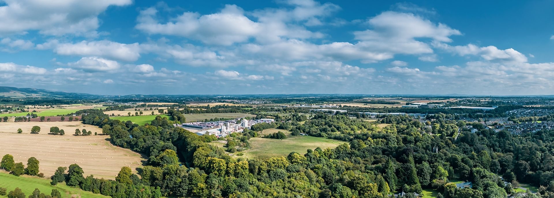
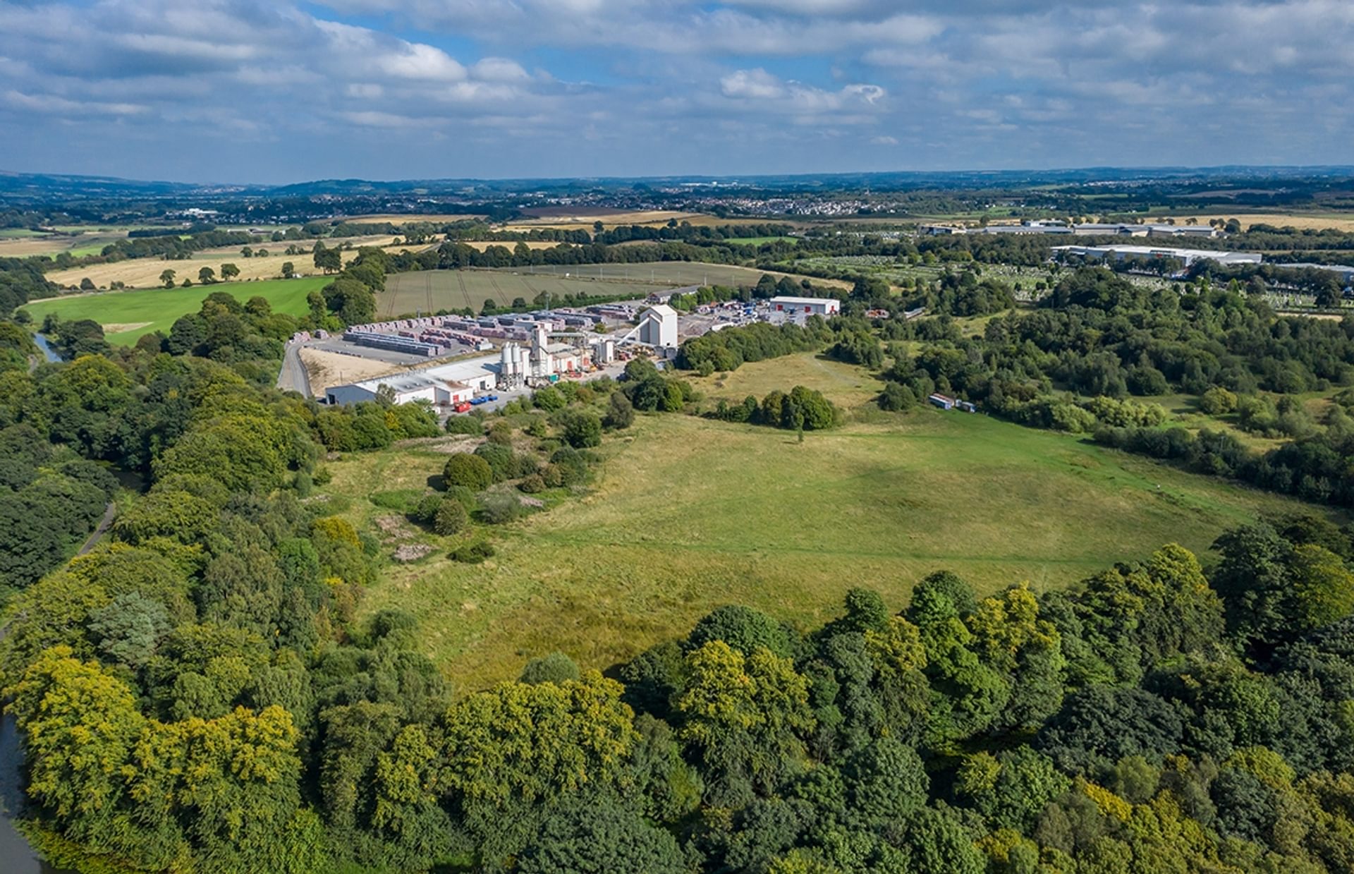
Immediately south-east of a sharp bend in the Forth and Clyde Canal at Cadder is the site of a Roman fort.
Visiting Cadder
Facilities at or near this site
Parking
Accessibility
The site of Cadder fort lies on the northern side of Bishopbriggs, just west of the roundabout where the A803 meets the A807 and just south of a sharp bend in the Forth and Clyde Canal
The site is accessed by approximately a mile walk from parking at Canary Warf next to the Forth-Clyde Canal. Ground conditions include pavements and unpaved, grassy, steep paths.
More information
Learn more about the local area on the council’s website.
Find out more about visiting here at Visit Scotland.
History
Extensive sand quarrying in the 1940s destroyed both the fort and the remains of a medieval motte which had probably used the ditch of the Antonine Wall as part of its defences.
Excavations have revealed that the fort faced east, likely to protect it weakest area. The forts buildings included a stone headquarters, two granaries, timber barrack blocks and two bath houses.
What can I see today?
No remains are visible on the ground today.

© Rediscovering the Antonine Wall Project
What was found there?
A building inscription, later built into the wall of Cawder House, suggests that the Second Legion were responsible for building the fort. An oil lamp was also recovered from the location of the forts bathhouse.
Oil lamp, Cadder
Where can I learn more?
Find out more about the discovery and investigation of Cadder fort.

