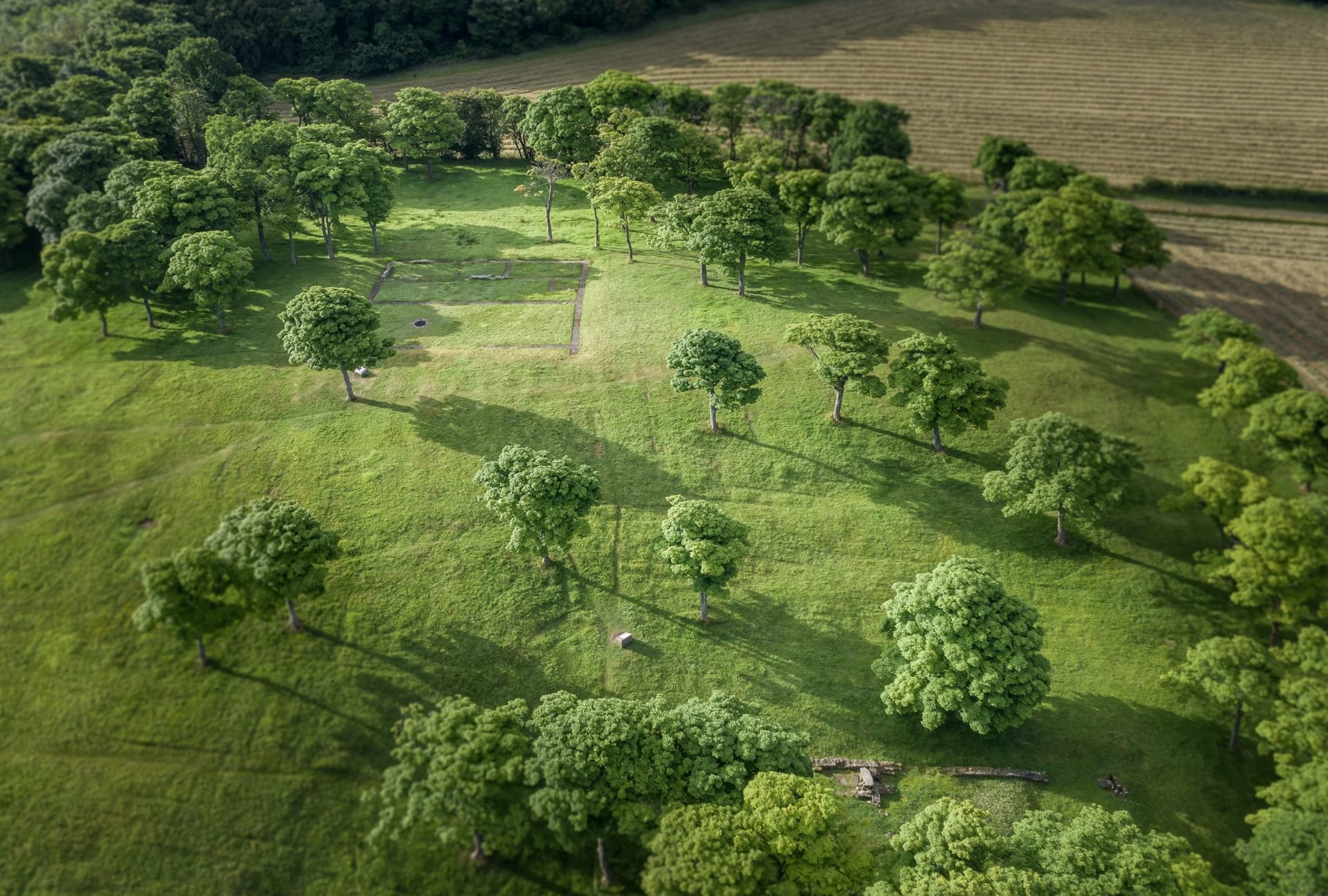
John Muir Way
The John Muir Way is a coast-to-coast route across central Scotland. At several locations, it crosses parts of the Antonine Wall. More information can be found on the John Muir website.
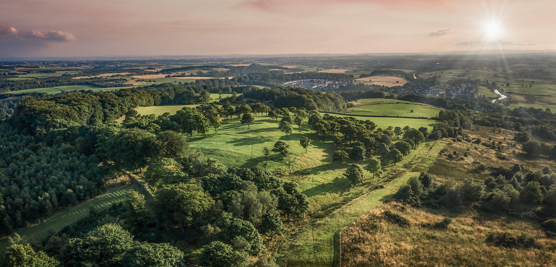
Ready to explore the Antonine Wall? Have a look at our storymaps to explore the Wall from home or find inspiration for your next adventure. Download our walking guides and maybe tackle the Antonine Wall Trail?
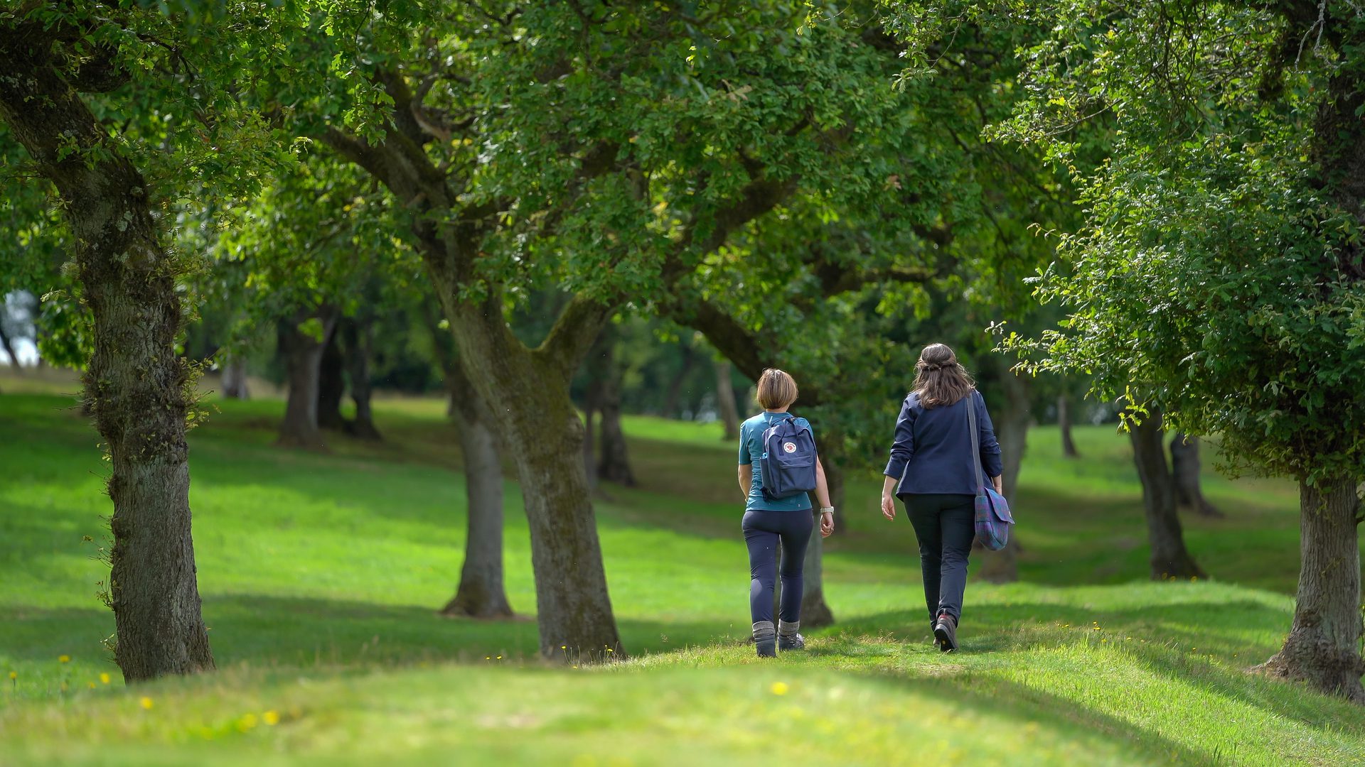
The Antonine Wall Trail is 47 miles (75km) long and allows you to walk as closely as possible to the Antonine Wall. Whilst the trail is not waymarked, you can download our step-by-step guides for Falkirk, North Lanarkshire, East Dunbartonshire & Glasgow and West Dunbartonshire, which include maps and GPX tracks to download/print.

The John Muir Way is a coast-to-coast route across central Scotland. At several locations, it crosses parts of the Antonine Wall. More information can be found on the John Muir website.
Download this walking guide, produced by West Dunbartonshire Council, to sections of the Antonine Wall in the area.
Download this guide, produced by Falkirk Council, for walks to sections of the Antonine Wall in the area.
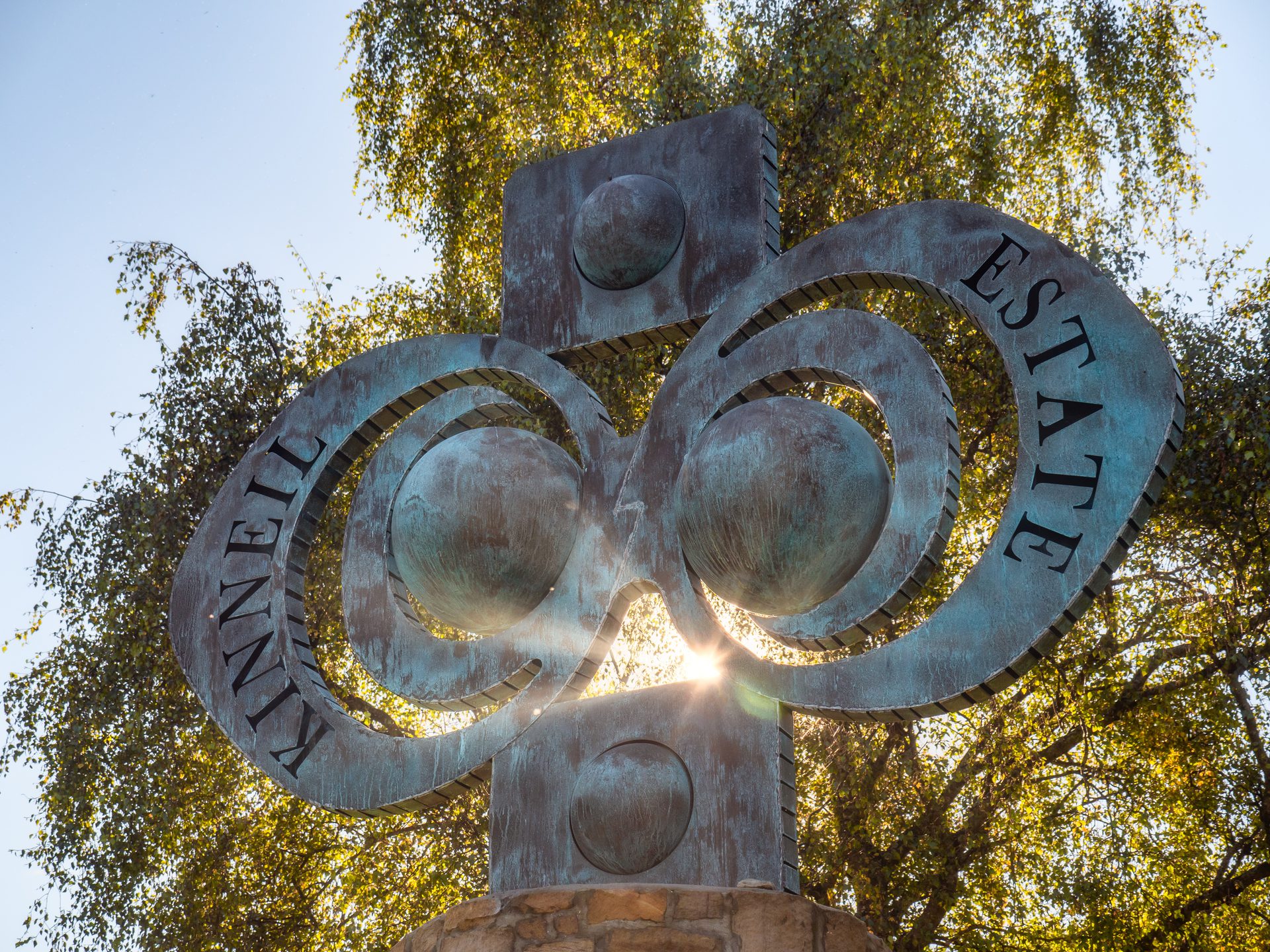
Learn more and plan a trip to visit the varied and interesting sculptures along the Antonine Wall.

Plan a visit to visit the Roman themed play parks on the Wall.

Learn more and plan a trip to visit the Antonine Wall murals.
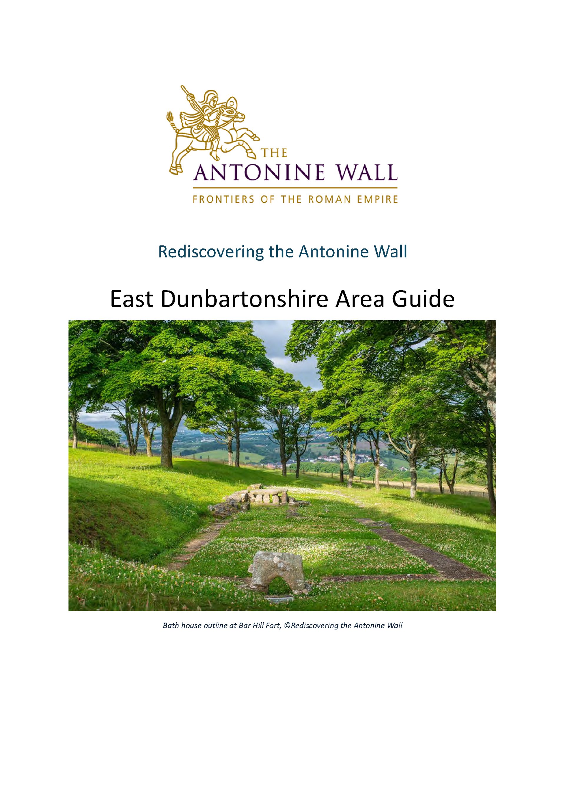
A guide covering the Antonine Wall in East Dunbartonshire.
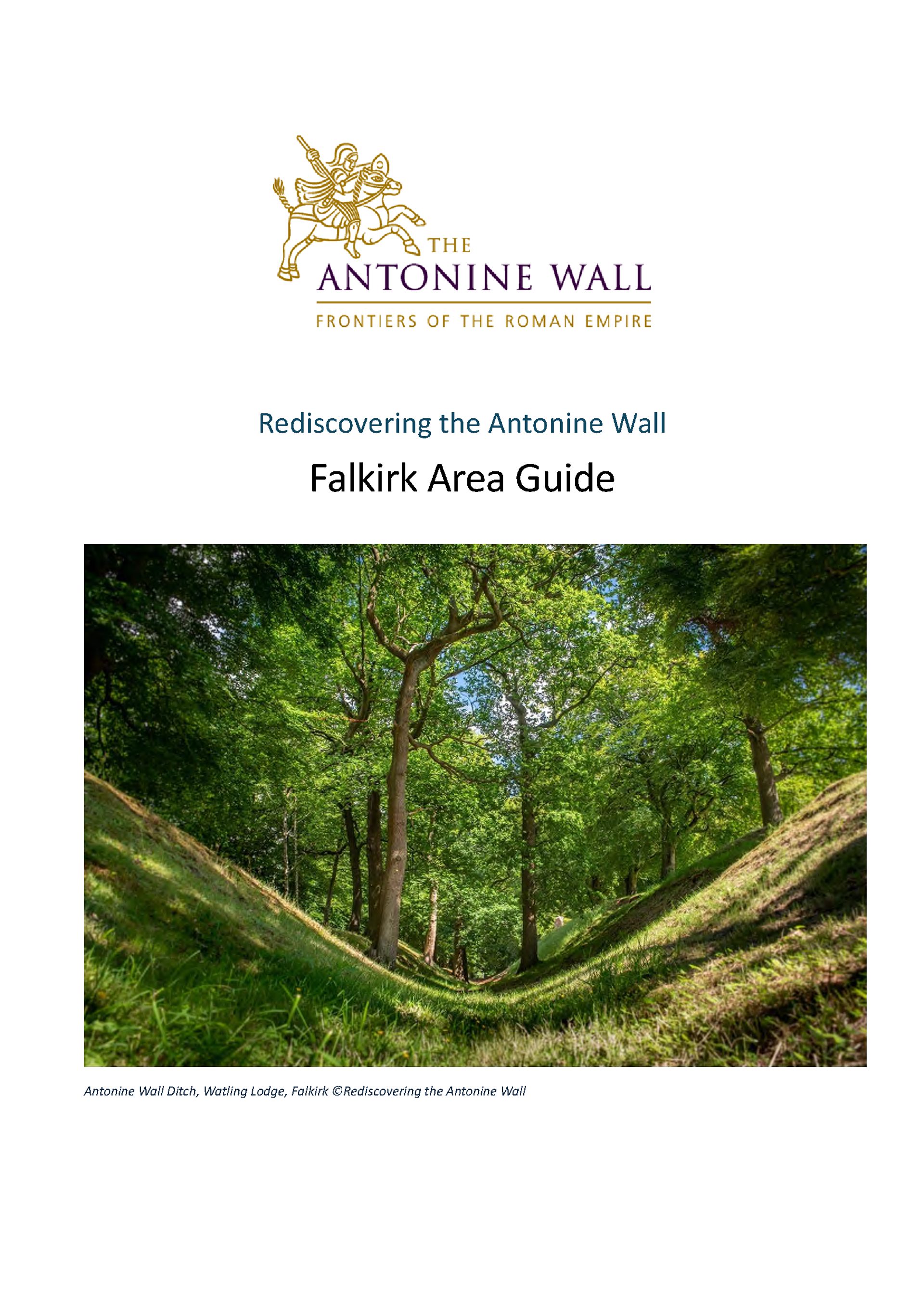
A guide covering the Antonine Wall in the Falkirk area.
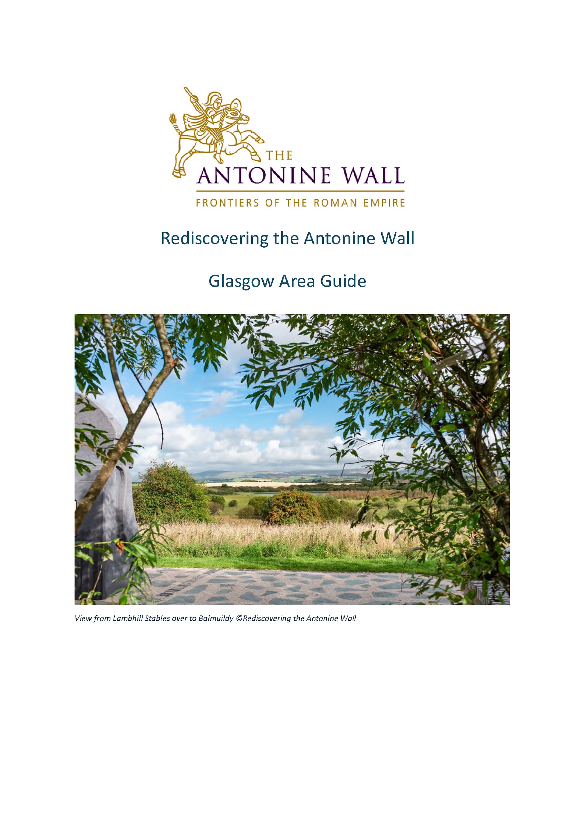
A guide covering the Antonine Wall in the Glasgow Area.
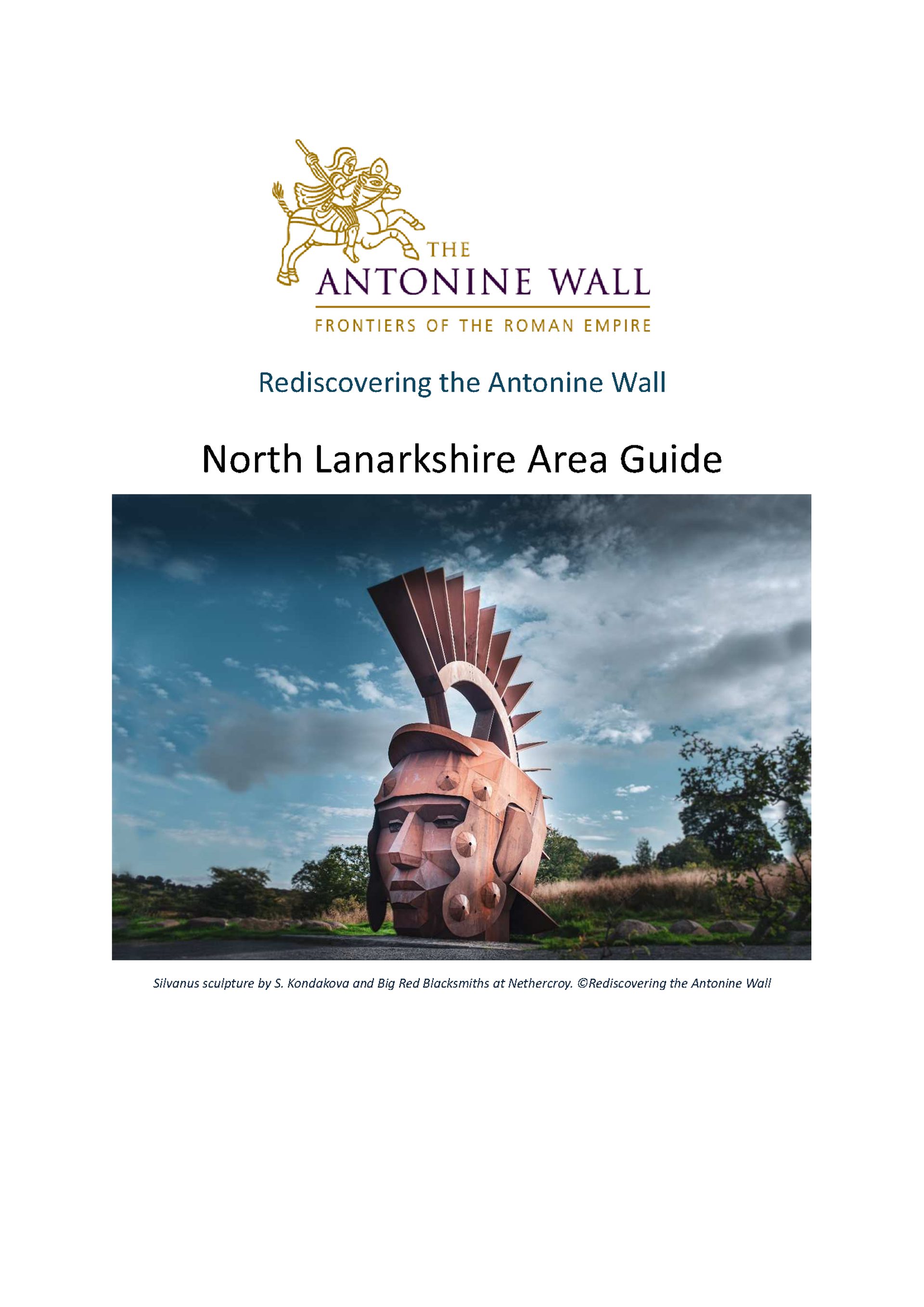
A guide covering the Antonine Wall in the North Lanarkshire area.
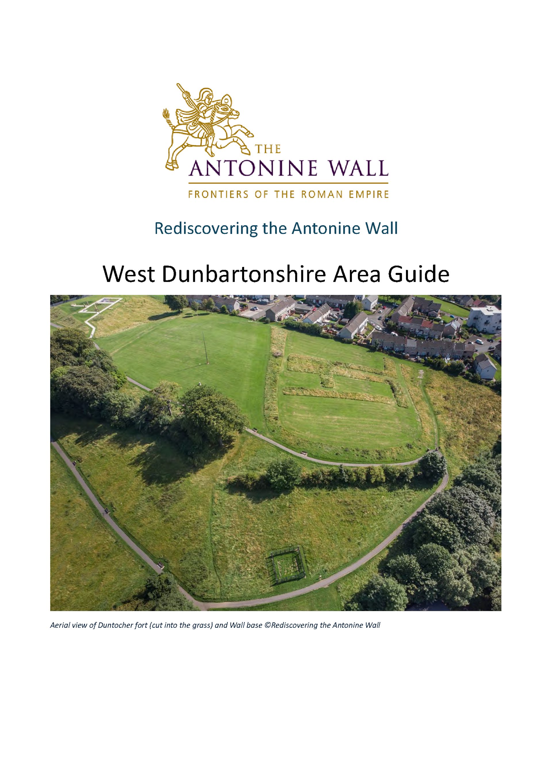
A guide covering the Antonine Wall in the West Dunbartonshire area.
A driving guide to the east end of the Wall, in the Falkirk area.
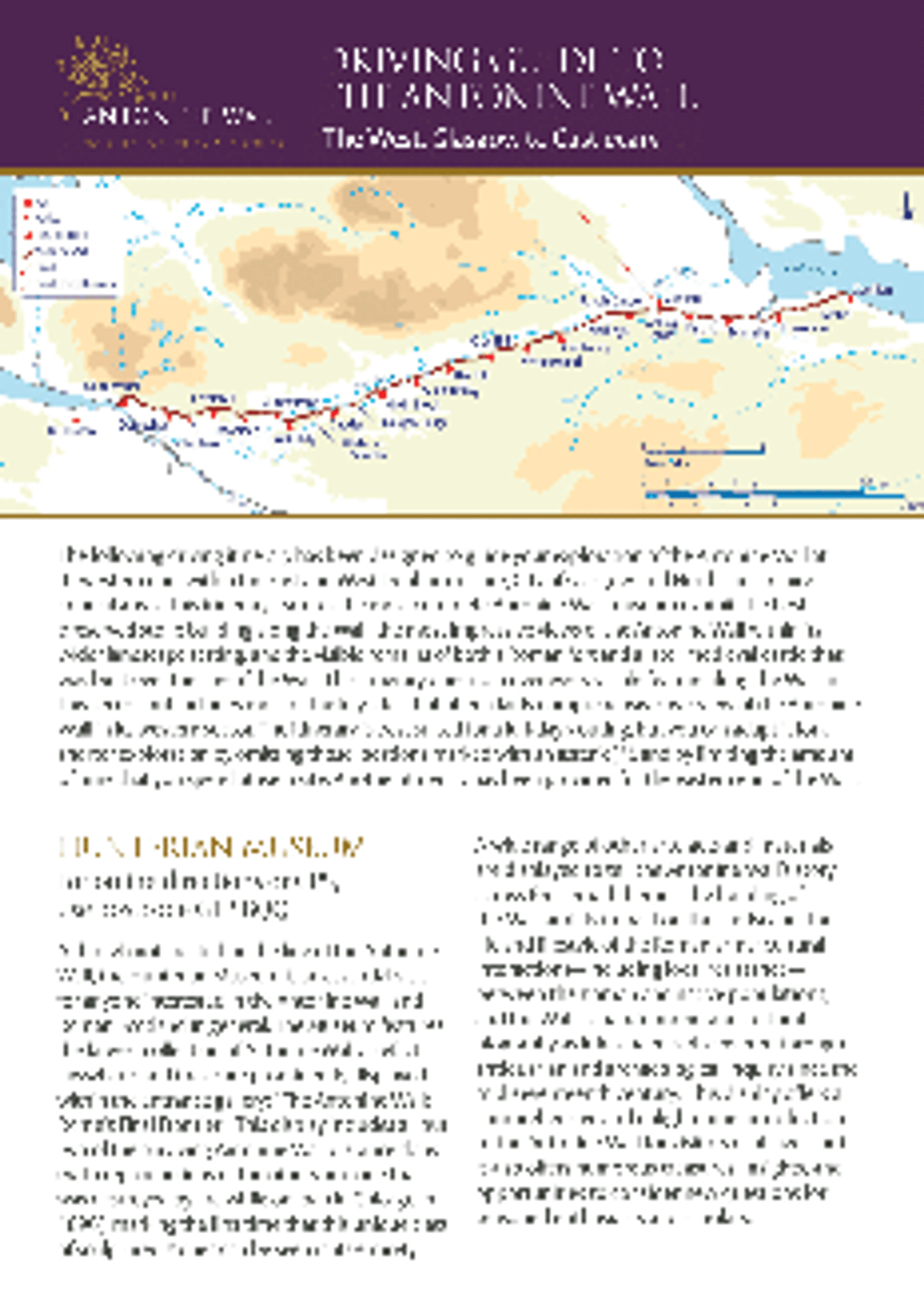
A driving guide to the west end of the Wall, through East and West Dunbartonshire, City of Glasgow and North Lanarkshire.
Use our interactive map and site explorer to learn more about key sites along the wall to visit.
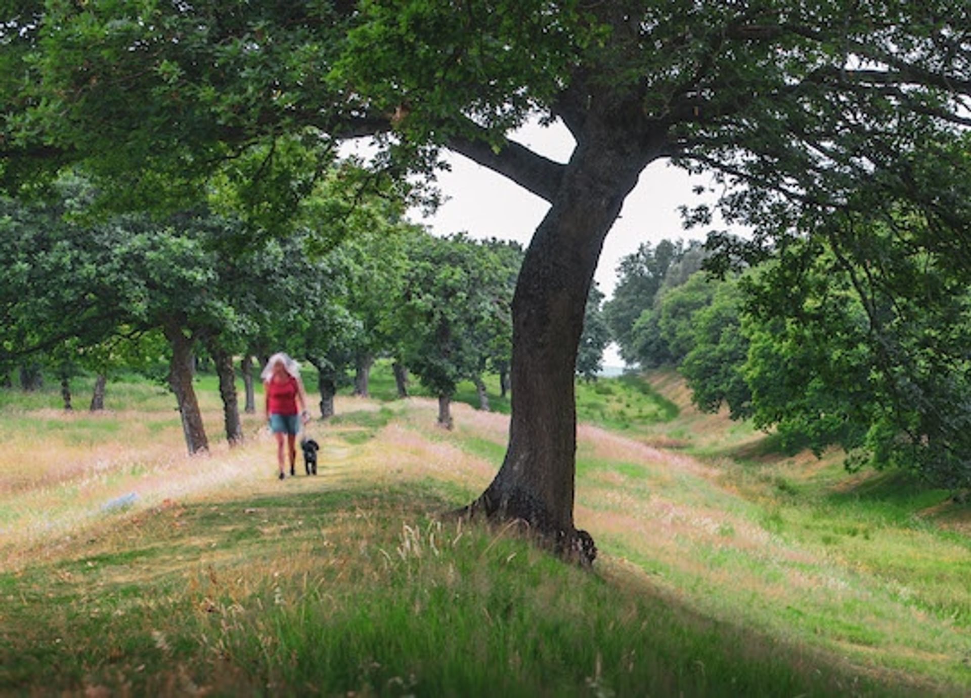
Want to know where the best locations are to see the Antonine Wall today? Check out our guide for the best spots to visit.